In season crop scouting with satellite imagery
A suggested process with tips and examples for applying satellite imagery to crop scouting using a spectral index such as NDVI
In field experimenting with satellite imagery in agriculture. What’s holding us back?
Investigating the state of self-directed experimentation and exploration using satellite imagery datasets in agriculture and identifying potential obstacles.
Applications of satellite imagery for agricultural professionals
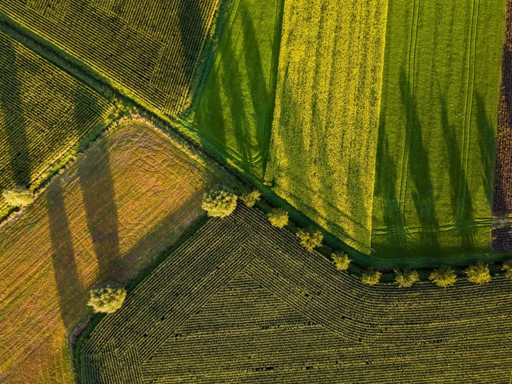
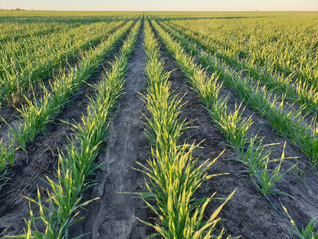
Satellite imagery can enhance human productivity, monitor & benchmark crops, help with input allocation and support historical & land management applications