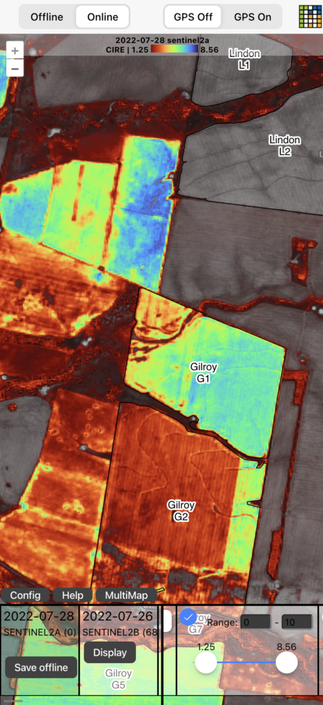
Colour scales / colormaps for satellite imagery vegetation indexes
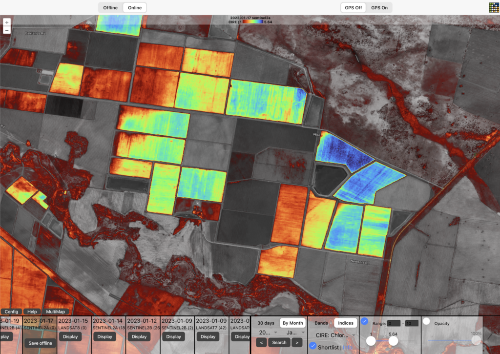
Understand the different ways of applying color scales to satellite imagery derivatives such as NDVI. And a few tips and gotchas along the way.
Comparing PlanetScope and Sentinel 2 satellite data in wheat
Applying MCARI2 spectral index to commercial and best freely available remote sensing data then comparing results