Skip to content
  • Pricing
  • Blog
  • FAQs
  • Support
Menu
  • Pricing
  • Blog
  • FAQs
  • Support
Register
Login

Tag: sentinel2

Colour scales / colormaps for satellite imagery vegetation indexes
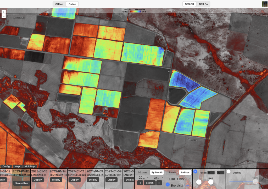
Understand the different ways of applying color scales to satellite imagery derivatives such as NDVI. And a few tips and gotchas along the way.

Comparing PlanetScope and Sentinel 2 satellite data in wheat
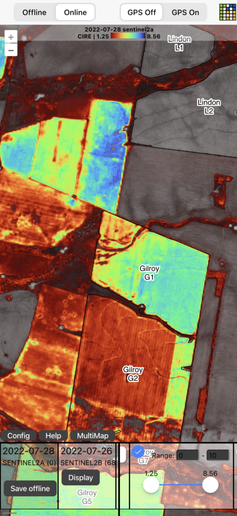
Applying MCARI2 spectral index to commercial and best freely available remote sensing data then comparing results

Level up your agronomy with Satellite Imagery. Agriobs uses the latest remote sensing technology delivered through an app that works on any device both online & offline.
  • Moree, NSW, Australia
  • ABN: 68 661 572 890
  • Ph: +61428548688
Envelope Twitter

Quick Links

  • Team
  • Web App
  • iOS App
  • Pricing
  • Team
  • Web App
  • iOS App
  • Pricing

Other Links

  • Terms & Conditions
  • Privacy Policy
  • Support
  • FAQs
  • Terms & Conditions
  • Privacy Policy
  • Support
  • FAQs
© 2023 Agriobs Pty Ltd 2023 All Rights Reserved